Log in
All resources
Create a design
11,660 Free Images of Old Map
maps made in the 17th century
atlantis magni tomus tertius (biblioteca comunale di trento)
maps by pieter schenk (i)
gerard valck
maps in the library of congress
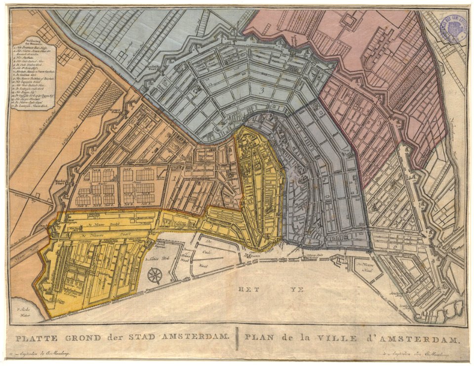
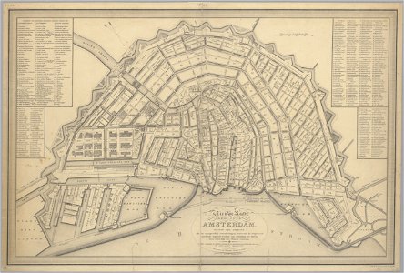
old maps of amsterdam
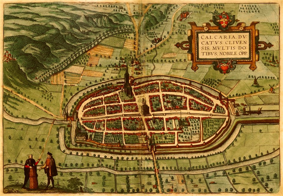
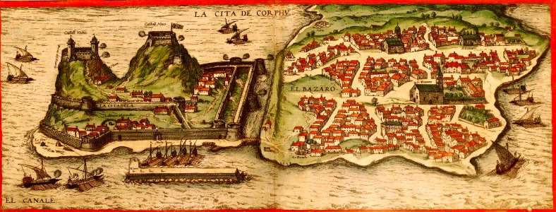
braun & hogenberg
johannes vingboons
maps by coronelli
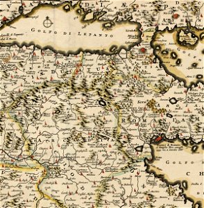
old maps of the peloponnese
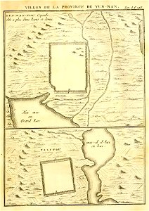
french-language maps of china
kunming
french-language maps
johannes ratelband
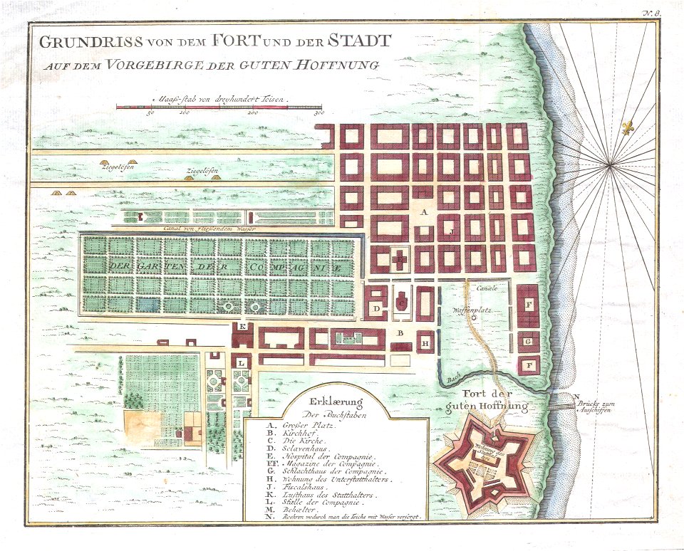
history of cape town
german-language maps
atlas of the russian empire (1792)
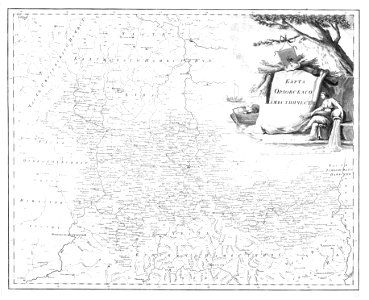
old maps of oryol governorate
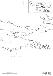
old maps of papua new guinea
milne bay
old maps of amsterdam
evert maaskamp
old maps of amsterdam
evert maaskamp
engravings of topographia saxoniae inferioris
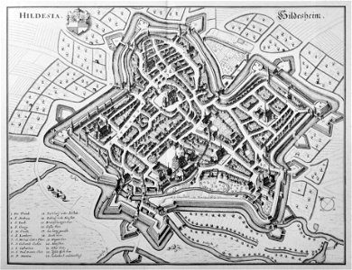
old maps of hildesheim
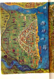
illuminated manuscripts in istanbul university
old maps of istanbul
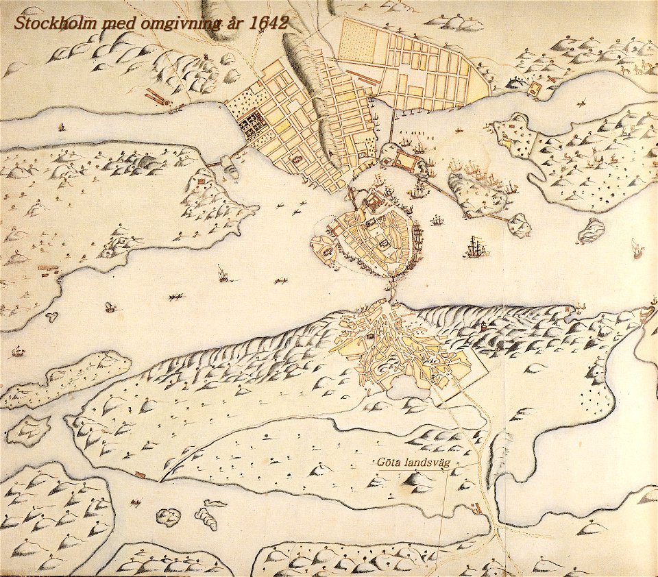
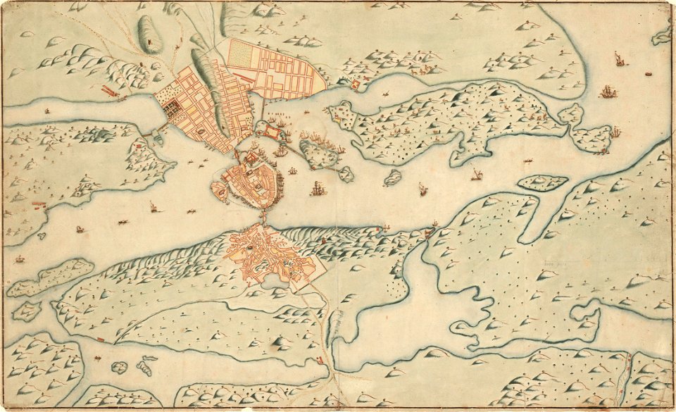
old map of stockholm 1642
göta landsväg
old map of stockholm 1642
1846 in switzerland
old maps of zürich
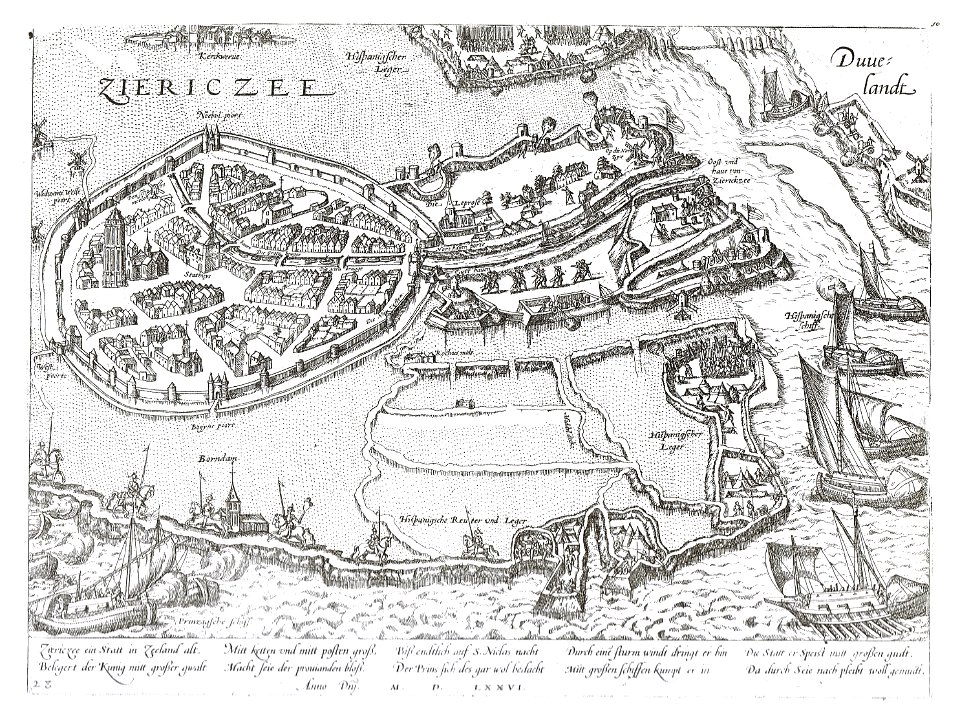
old maps of zierikzee
braun & hogenberg
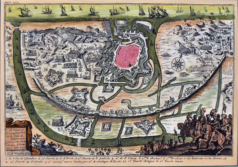
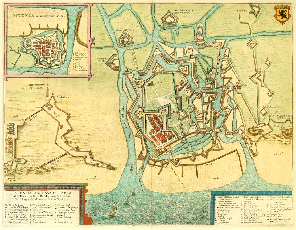
siege of ostend
low country
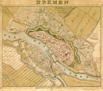
old maps of bremen (state)
bremen in the 1820s
old maps of greece
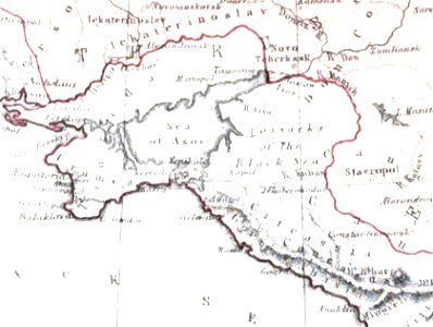
old maps of the sea of azov
maps of circassia
university of toronto wenceslas hollar digital collection
old maps of ireland
maps in the stadsarchief amsterdam
old maps of amsterdam
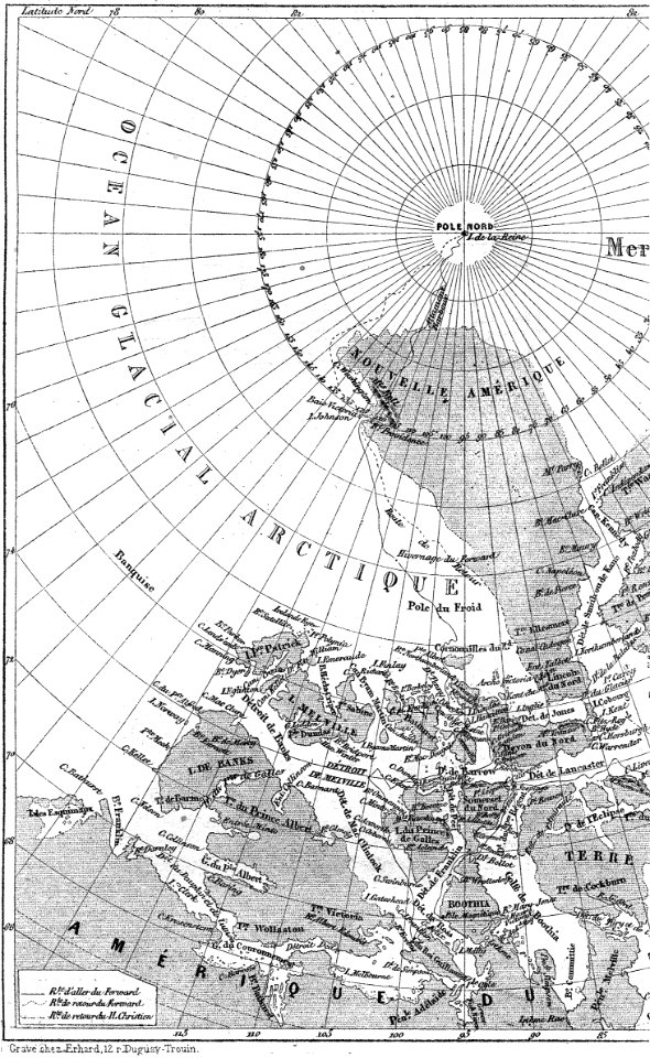
illustrations from the english at the north pole by riou and montaut
old maps of the arctic
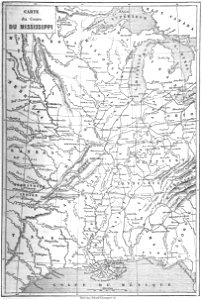
old maps of mississippi (state)
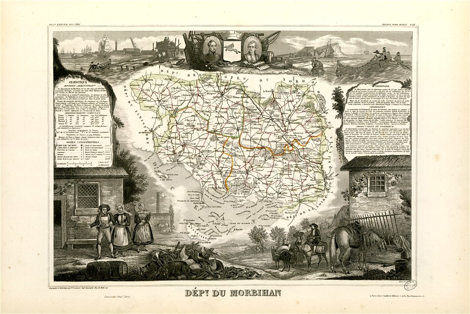
maps by alexandre vuillemin
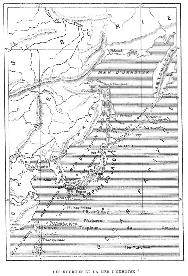
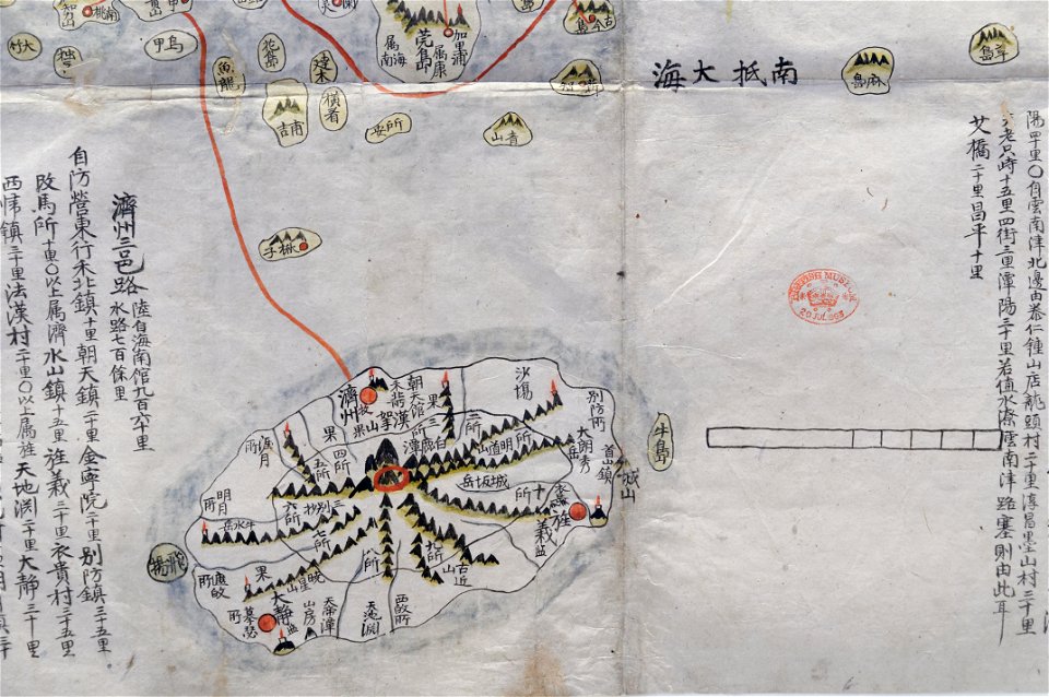
old maps of korea
british museum
media in the houghton library
harvard university
johannes vingboons
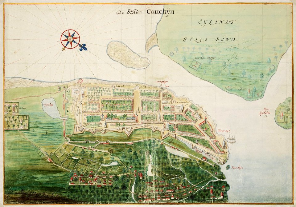
kerala
the illustrated london news 1860
19th-century maps of china
travels in various countries of europe
asia and africa
johann baptist homann
1762 maps
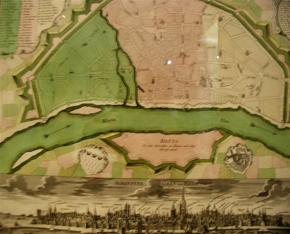
parts of old maps of cologne
maps by matthäus seutter
old maps of the peloponnese
maps by coronelli
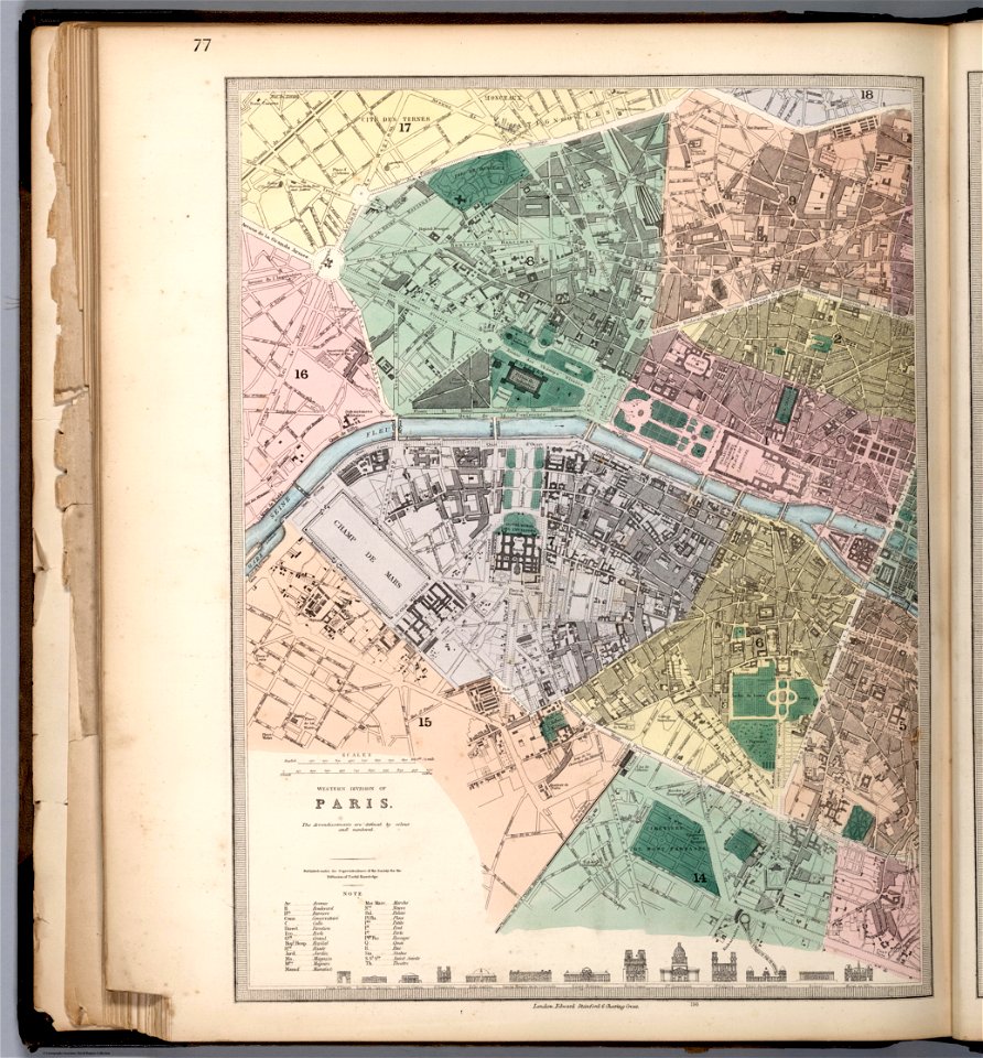
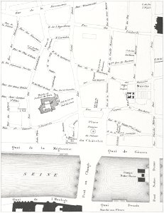
lithographs of paris
grand châtelet
geographical atlas for the 5-6 grades of secondary school (1941)
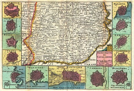
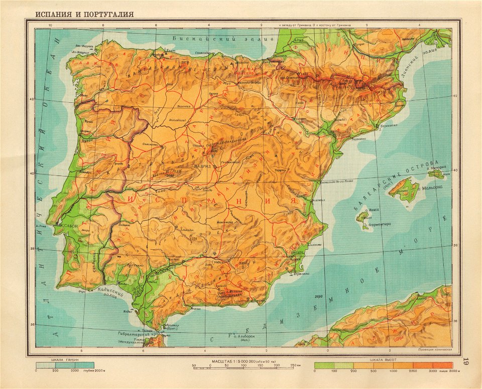
old maps of the iberian peninsula
maps in the national library of wales
old maps of whole wales (alone)
old maps of lazio
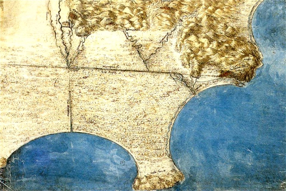
codex windsor
maps by coronelli
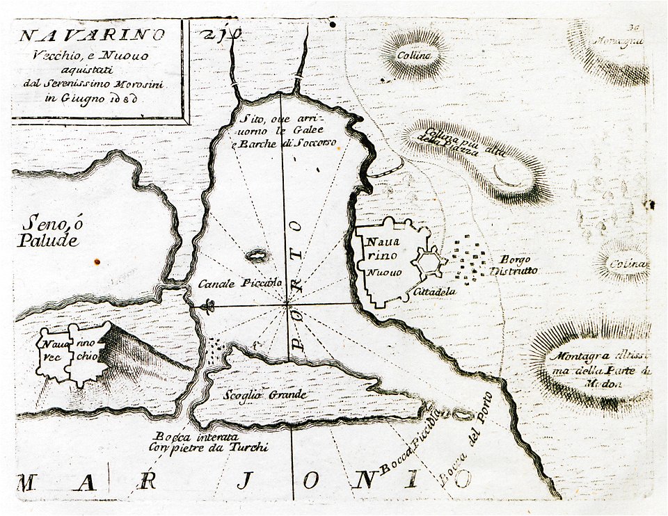
pylos
old maps of the peloponnese
maps by coronelli
braun & hogenberg
copper engraving
braun & hogenberg
maps of kalkar
west-indische compagnie
1639 maps
historical images of brackenheim
1835 maps
braun & hogenberg
ships on maps
maps by willem and johannes blaeu
1649
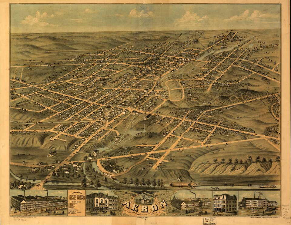
akron
ohio
maps by jacques-nicolas bellin
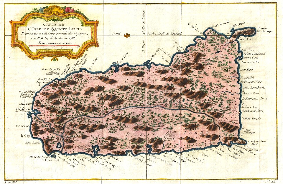
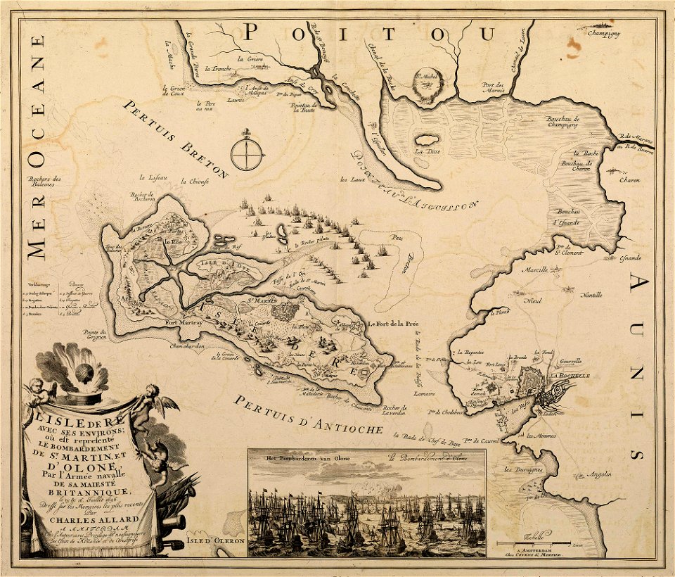
old maps of saint lucia
old maps of jordan
catalan atlas
maps made in the 17th century
gerard valck
maps made in the 17th century
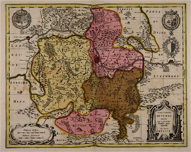
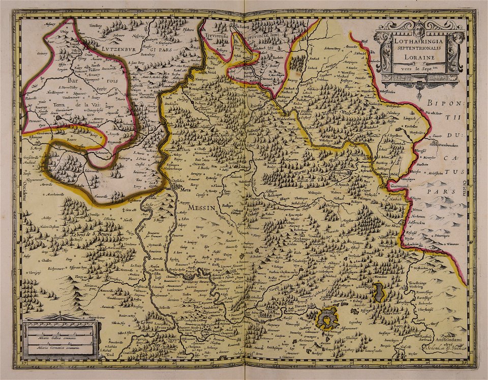
old maps of westphalia
maps made in the 17th century
gerard valck
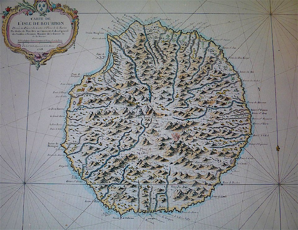
maps in musée de la compagnie des indes
old maps of réunion
maps made in the 17th century
gerard valck
maps made in the 17th century
gerard valck
maps made in the 17th century
gerard valck
maps made in the 17th century
gerard valck
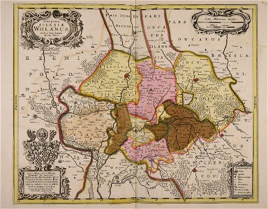
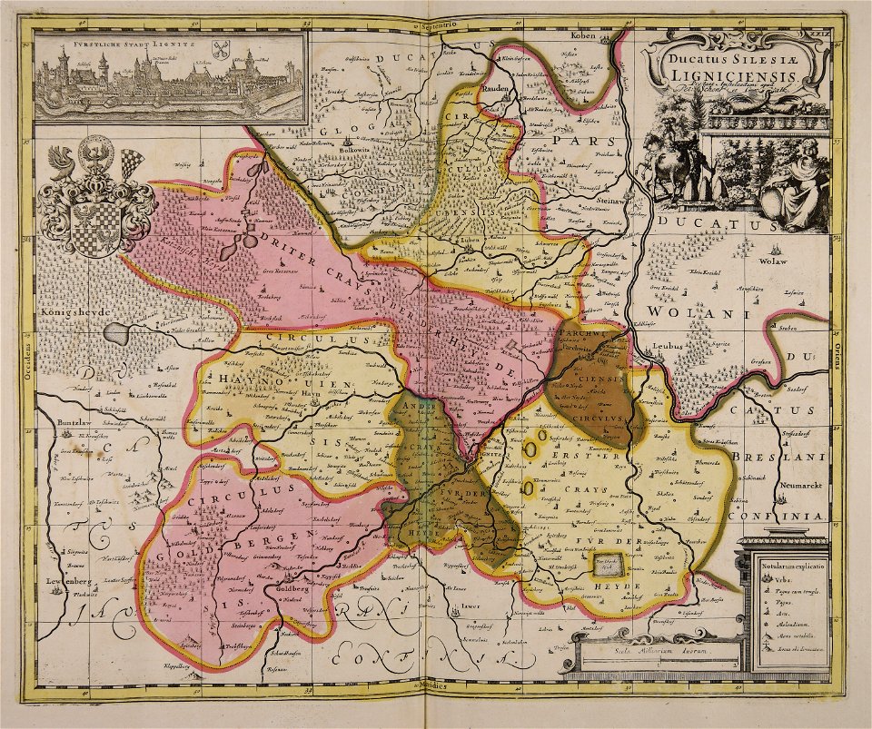
old maps of silesia
gerard valck
important cultural property of japan in tokyo
maps in the national archives of japan
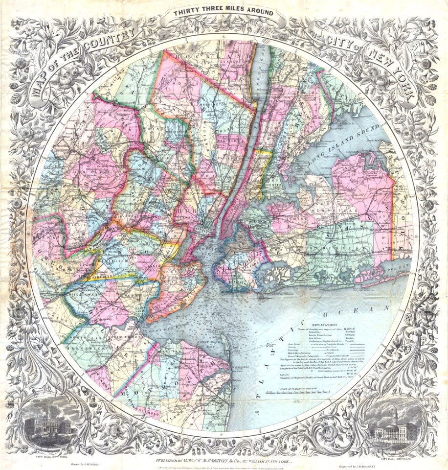
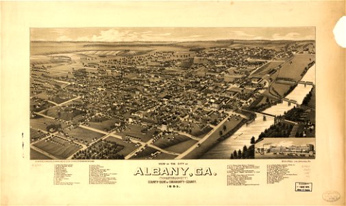
georgia
albany
brooklyn borough hall
new york city hall
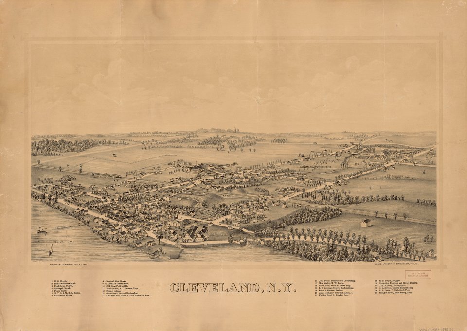
cleveland
new york
1865 in paris
1865 maps
bibliothèque municipale de reims
rès. g 152
atlantis magni tomus tertius (biblioteca comunale di trento)
maps made in the 17th century
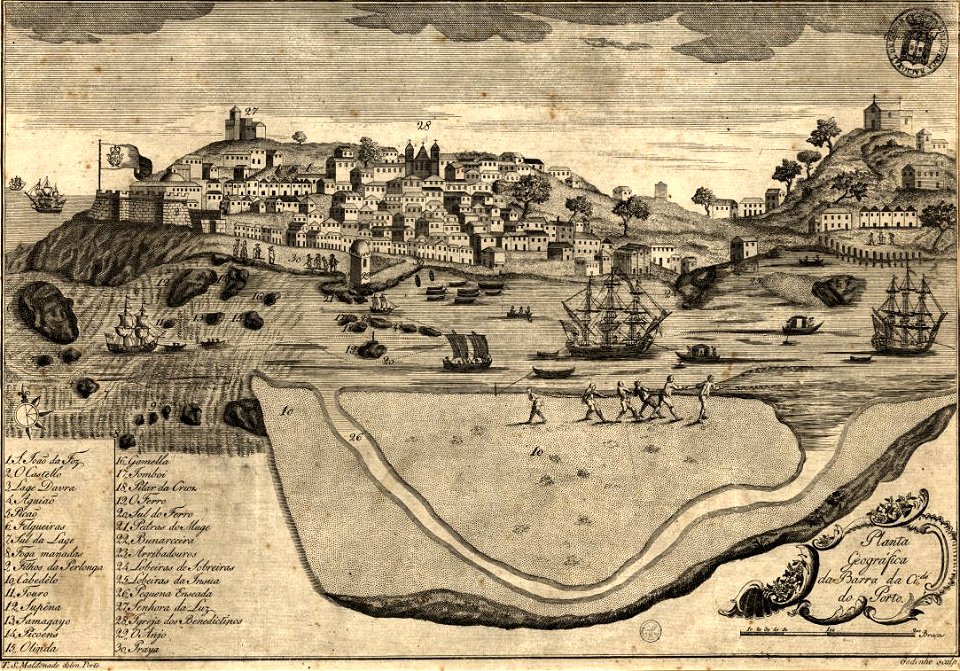
1780s maps of portugal
1789
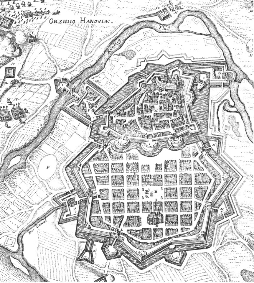
history of hanau
maps of hanau
illustrations from the english at the north pole by riou and montaut
old maps of the arctic
illustrations from the sea serpent by george roux
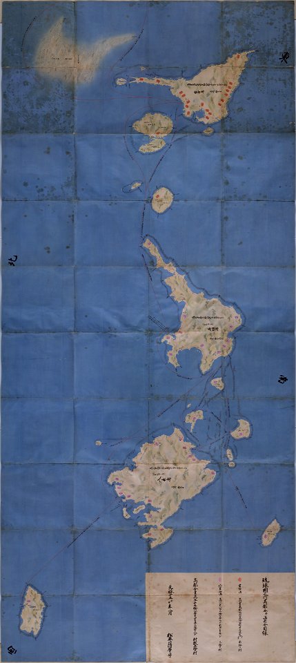
20th-century maps of japan
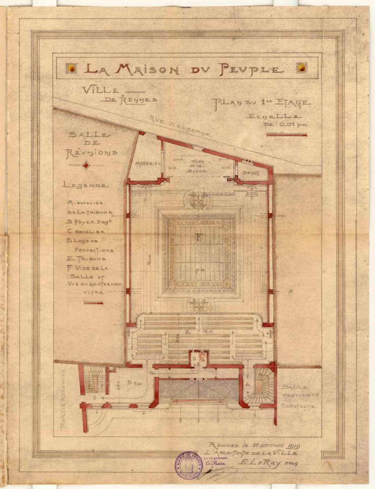
1919 in bretagne
1919 map
1919 in bretagne
1919 map
storia degli antichi popoli italiani
old maps of tuscany
maps by willem and johannes blaeu
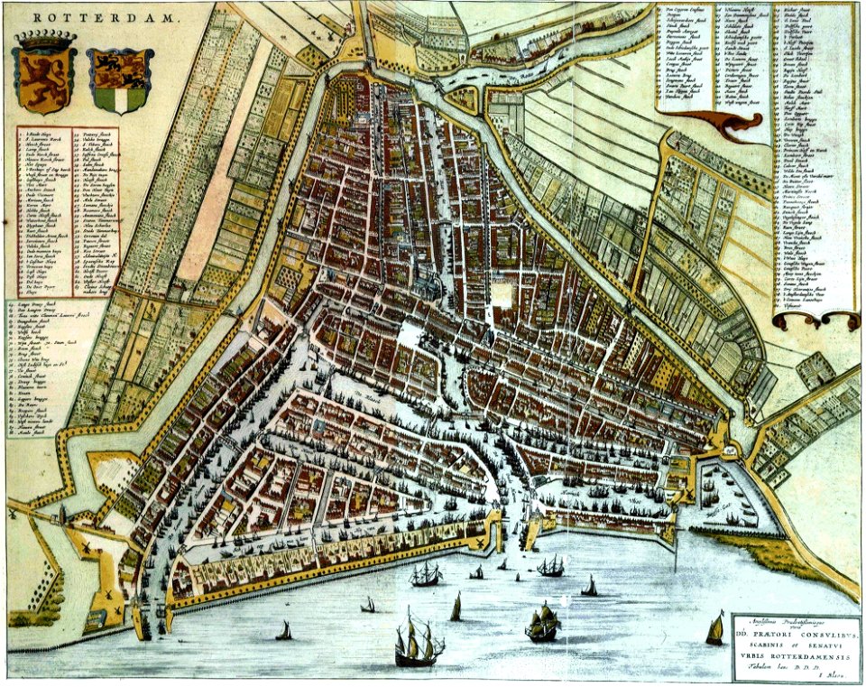
old maps of rotterdam
university of toronto wenceslas hollar digital collection
maps by wenzel hollar
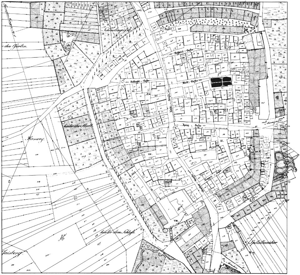
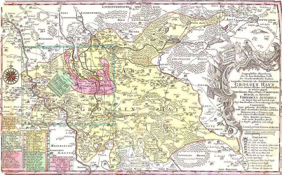
history of lorenzkirch
old maps of saxony
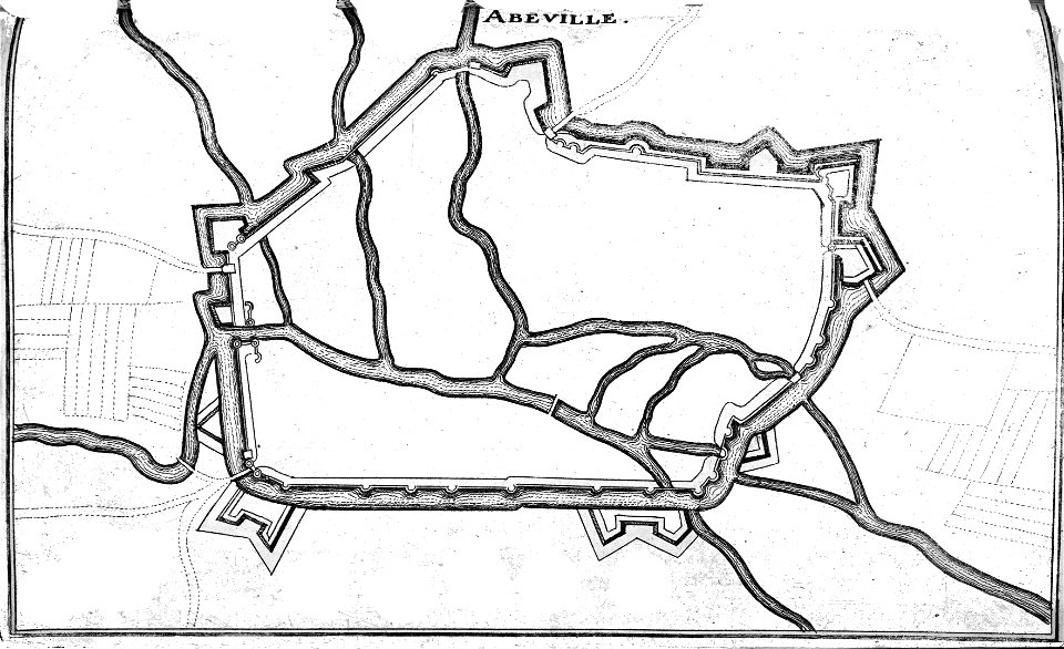
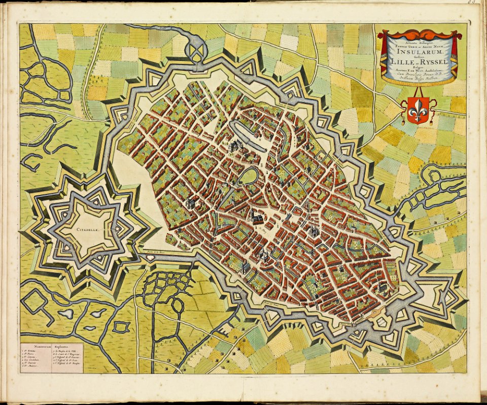
maps of lille city walls
atlas de wit 1698
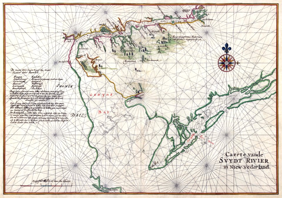
maps of the west-indische compagnie
1665
old maps of the dutch east india company
1598
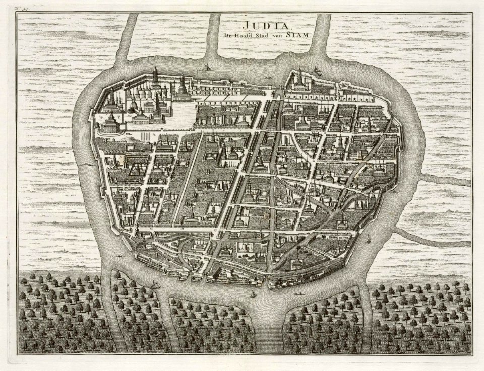
old maps of ayutthaya
1724
old maps of korea
british museum
fonds ancely - bibliothèque municipale de toulouse - maps
victor levasseur - maps of france
maps by willem and johannes blaeu
wijnhaven, the hague
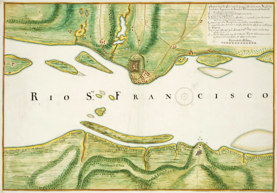
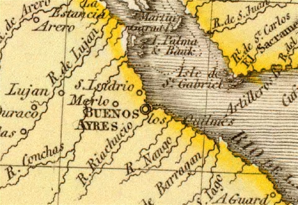
old maps of the río de la plata
1812 maps
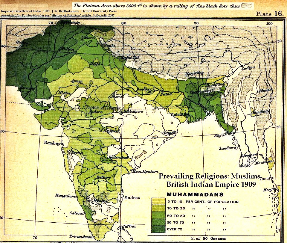
old maps of the indian subcontinent
dominion of india
maps made in the 17th century
gerard valck
maps made in the 17th century
maps by nicolaes visscher i
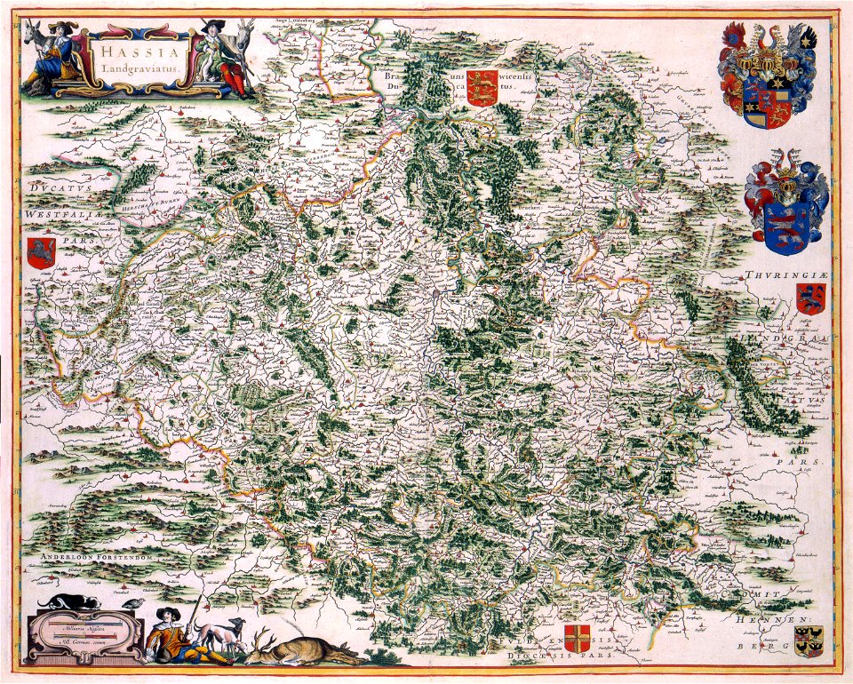
maps with cartouches
old maps of hesse
maps with cartouches
atlas van der hagen
prestedelijke bijlmermeer
old maps of amsterdam
old maps of styria
gerard valck
maps of the dutch east india company - madagascar
1635
old maps of mecklenburg
gerard valck
historical images of pont au change
lithographs of paris
sainte-marie-de-ré
bombardment
maps by nicolaes visscher i
old maps of upper austria
old maps of silesia
gerard valck
maps made in the 17th century
gerard valck
georgia
albany
maps made in the 17th century
gerard valck
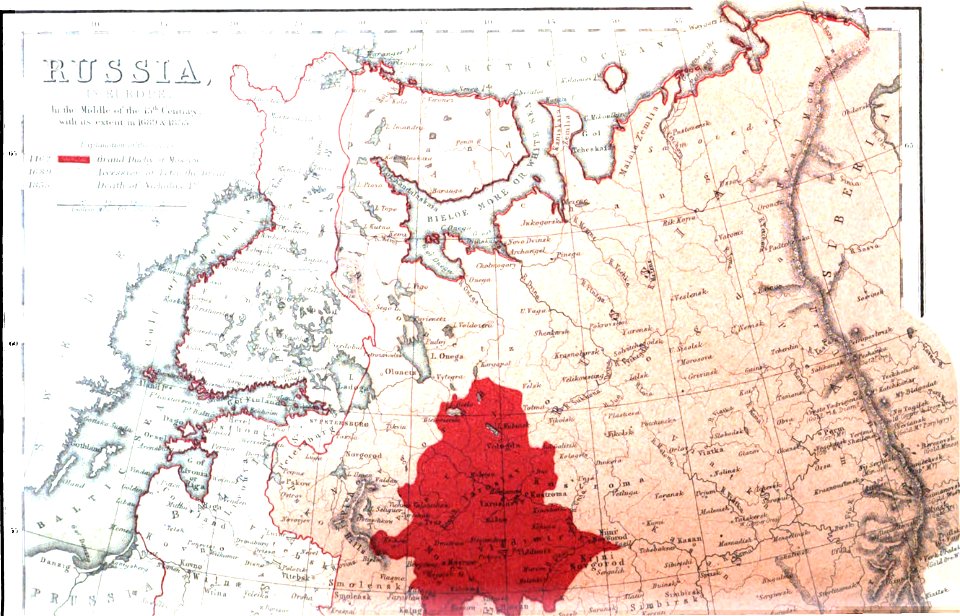
old maps of the russian empire
1856 maps
maps
sea
maps of paris from the barry lawrence ruderman antique maps inc.
maps by homannsche erben
images from the new york public library
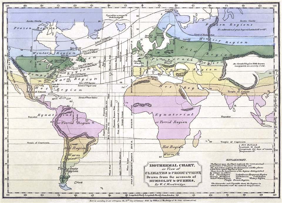
alexander von humboldt
australia
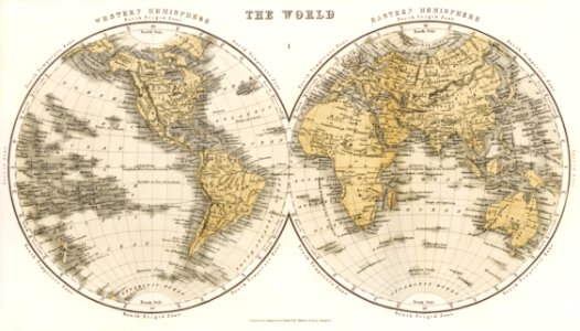
maps
maps in the library of congress
sailing ships of spain
2701 - 2800 of 11,660
Next page
/ 117